
Avondale
Annexed in 1893
Get to Know Avondale
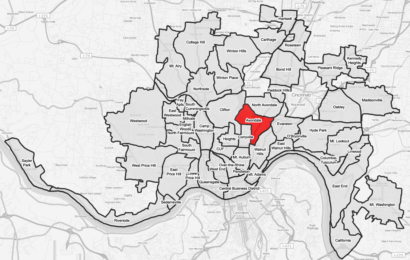
Avondale is a neighborhood located three miles from downtown Cincinnati. The boundaries of Avondale follow Clinton Springs on the north to Victory Parkway on the eastern side. The southern boundary follows Oak Street up to Burnet Avenue on the west, back to Erkenbrecher on the southern side, and Vine Street on the western side. It enjoys close proximity to Xavier University and the University of Cincinnati. Avondale is a major hospital district that includes the Jewish Hospital, Bethesda Hospital, Shriners Burns Institute, University Medical Center and Hospital, and Children’s Hospital Medical Center.
To the Point

This pointed shape references the home and family. It also represents the neighborhood’s architecture and many churches, echoed in the pointed roof designs of the ‘Avondale Pride’ mural on Reading Road.
On the Rise
Bold, clear stripes in a rising pattern stand for the layered history of Avondale and for a multi-generational community supporting one another.
‘A’ True Icon

The symbolic “A” iconography is a callback to the tall “A” outside of the Town Center in the 80s, a nod to the Avondale Council ‘A’ icon and, of course, Avondale’s namesake.

Avondale’s colors are Red, Black & Gold
Gold for the energy and richness that makes up the community.
Black for the strength and resilience of Avondale residents.
Red for the passion, care and love the community shares.
Avondale is…
an Uptown Cincinnati neighborhood on the move that is home to more than 12,400 residents as well as the Cincinnati Herald, Cincinnati Zoo & Botanical Gardens, and many major hospitals.